Very High

Volcán Pissis

LA TERCERA CUMBRE DE AMÉRICA

VOLCÁN PISSIS
6.790 m - 22,276 ft

Pissis VOLCANO

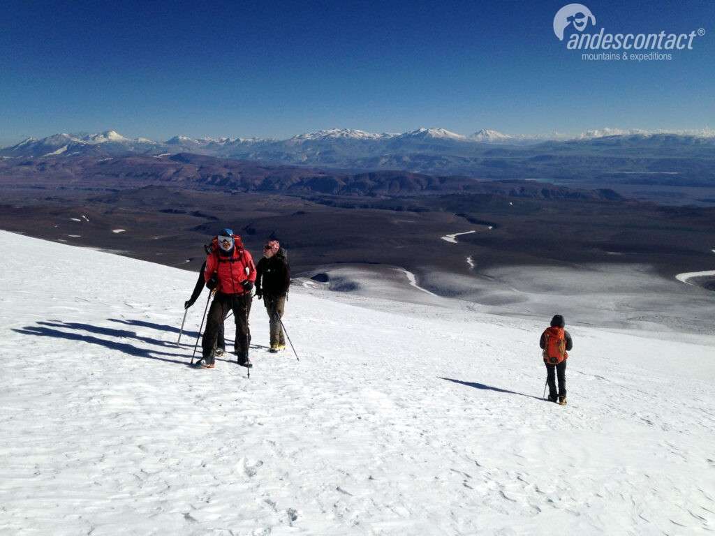
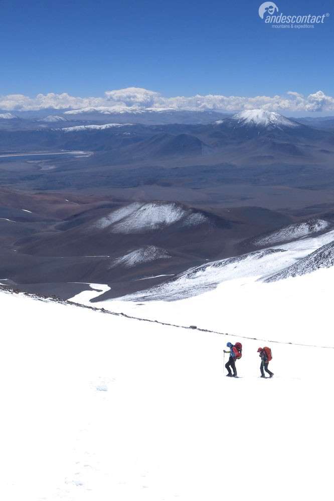
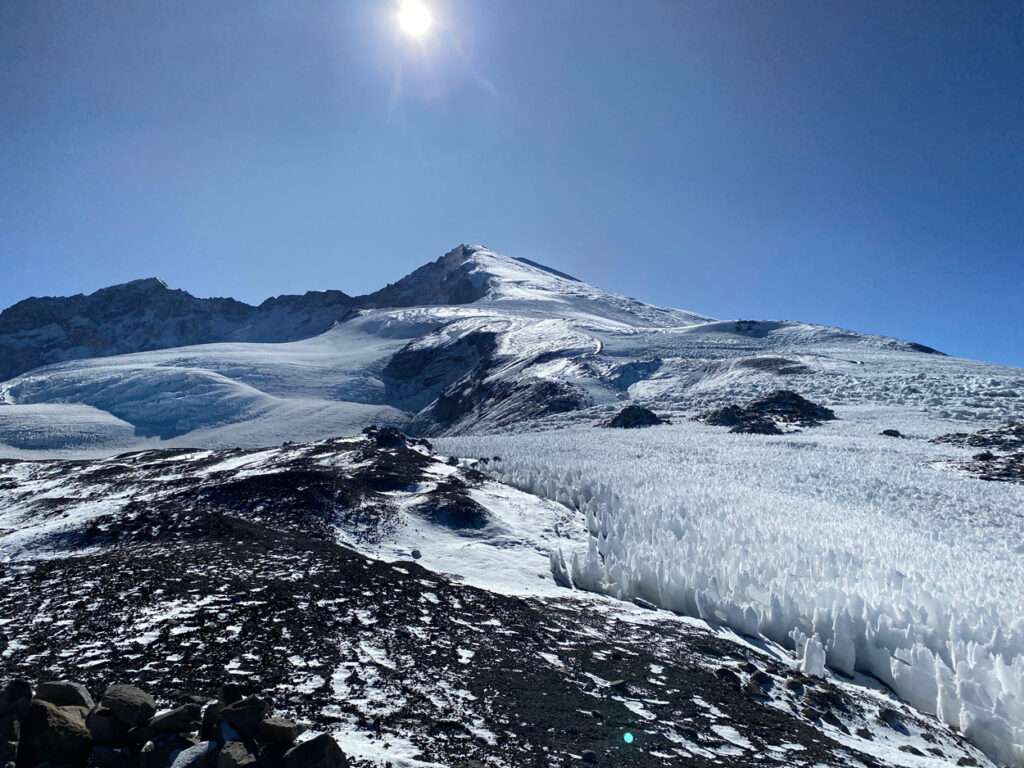
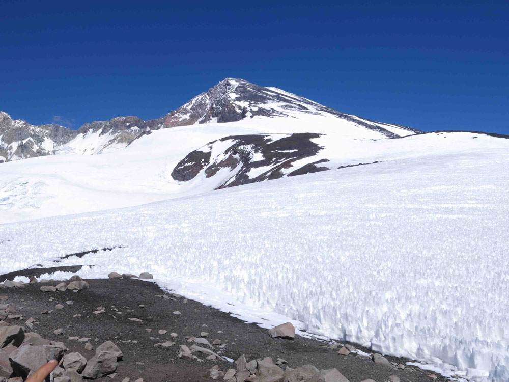
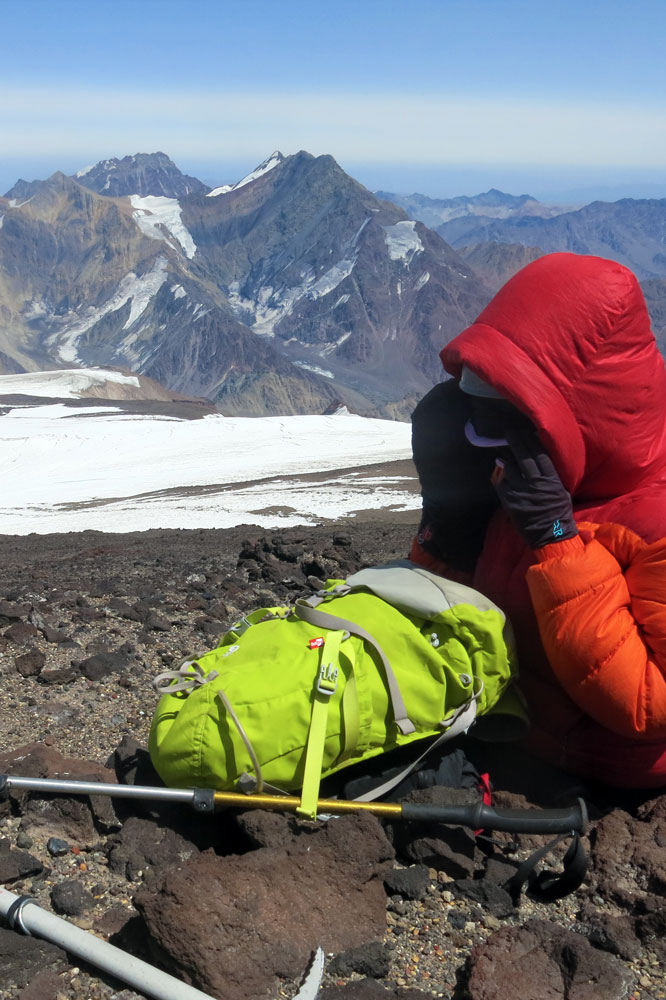
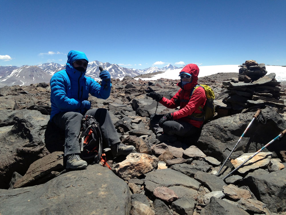
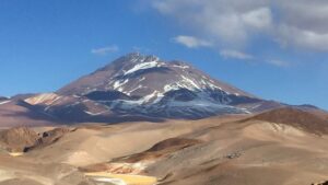
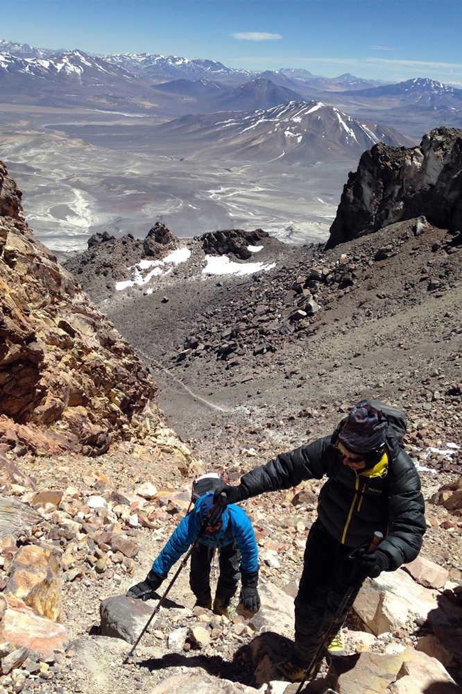
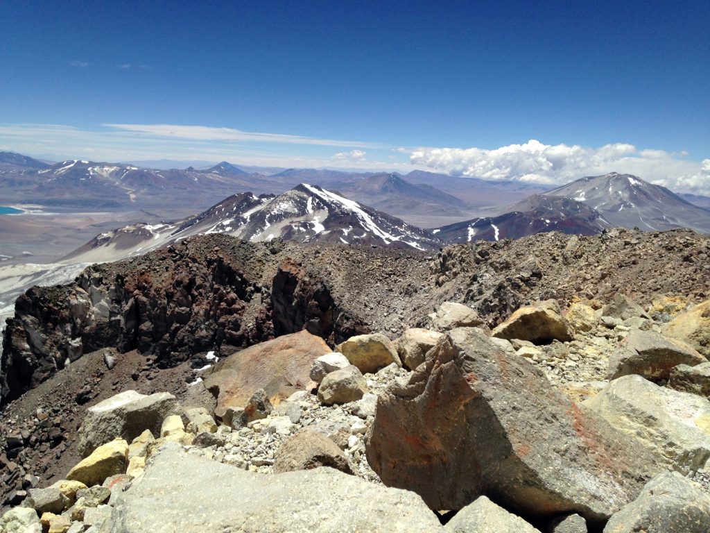
El Monte Pissis, con sus 6.780 metros de altitud, es la tercera montaña más alta de América y se alza orgullosa por sobre sus vecinos inmediatos.

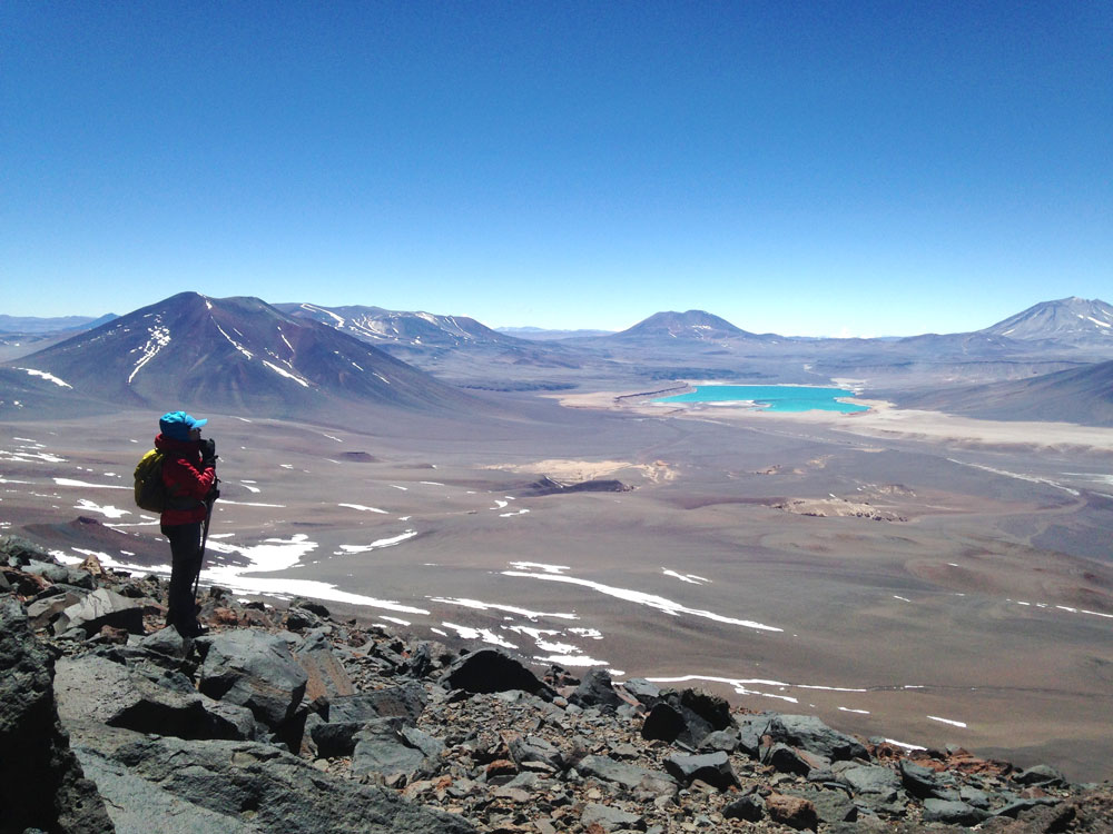
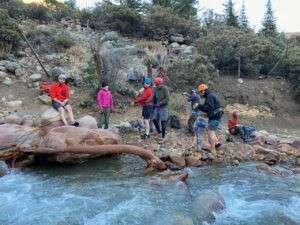
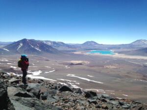
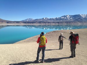
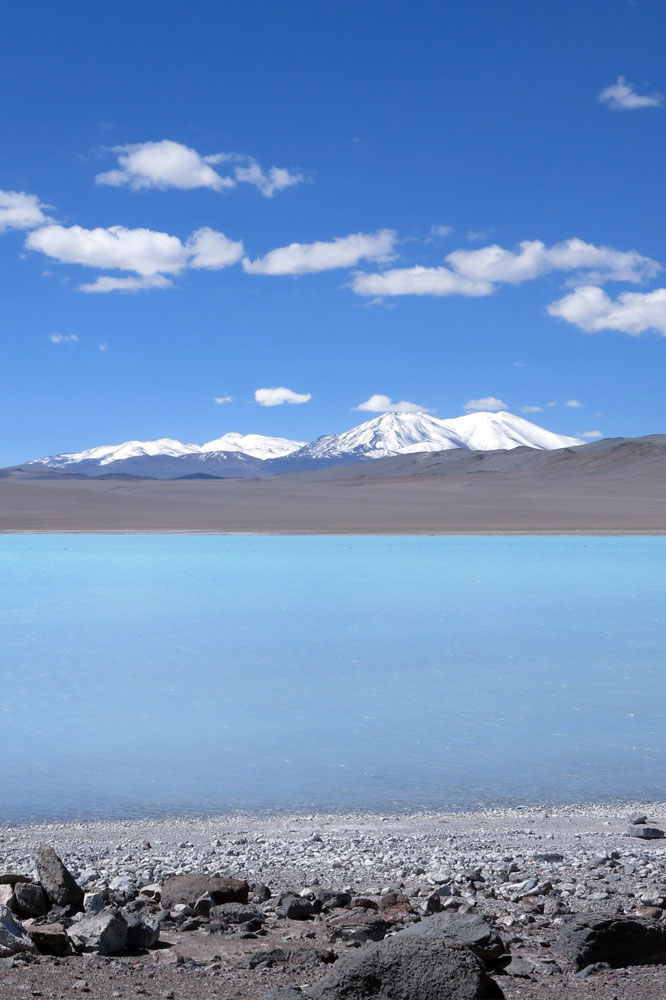
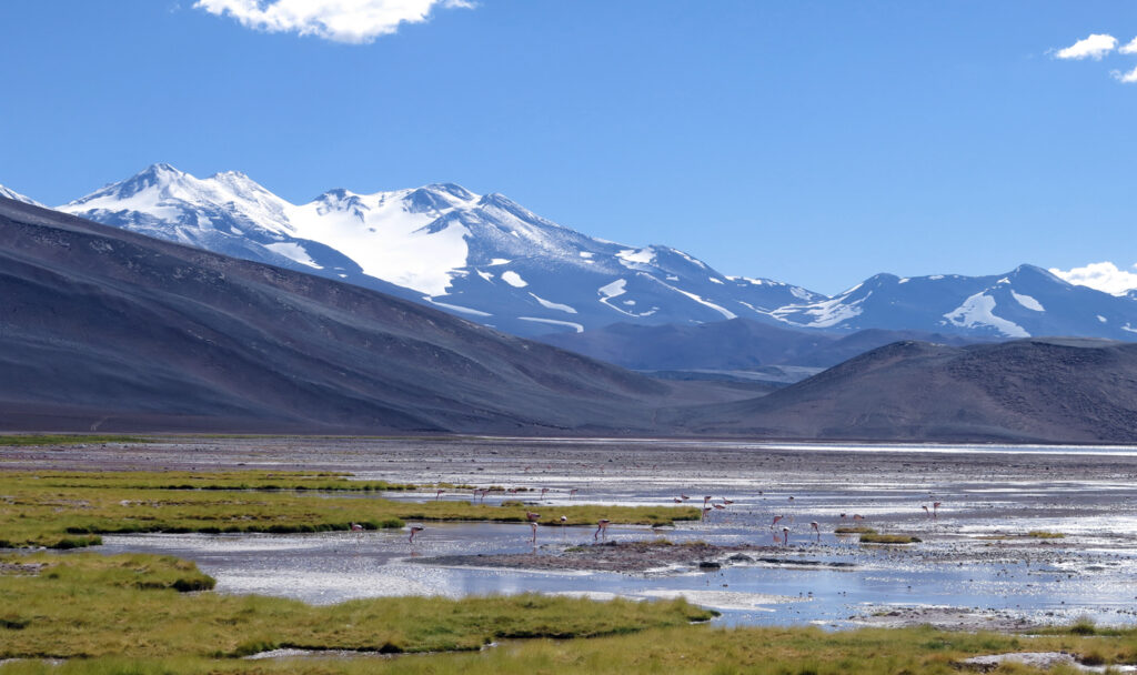
Enclavada en medio del desierto argentino, la aproximación es una aventura en sí misma, ya que el trayecto desde la carretera supera los 90 kms de terreno desértico, montañoso, con presencia de ríos y esteros por donde cruzar, hermosas lagunas de un color turquesa intenso, más la curiosa mirada de vicuñas y guanacos quienes abundan aún en estos desolados parajes.

Las cinco cumbres que presenta son un reto interesante para quienes intenten desafiarla, finalizando en su cima principal, quien se erige por sobre el resto tras dejar en el camino neveros, acarreos y falsas cumbres. Son cerca de 12 días de aventura y de maravillosos paisajes, dentro de un sobrecogedor entorno de alta montaña.
PROGRAMA DE ASCENSO

  1. CIUDAD DE ORIGEN – APTO. DE COPIAPÓ – LAG. STA. ROSA (3.750 M).
  2.  STA. ROSA – LAGUNA VERDE (4.300 M).
  3. L. VERDE – TREK A 5.000 M – L. VERDE.
  4. L. VERDE – CERRO SAN FRANCISCO – L. VERDE.
  5. L. VERDE – FIAMBALÁ (HOTEL).
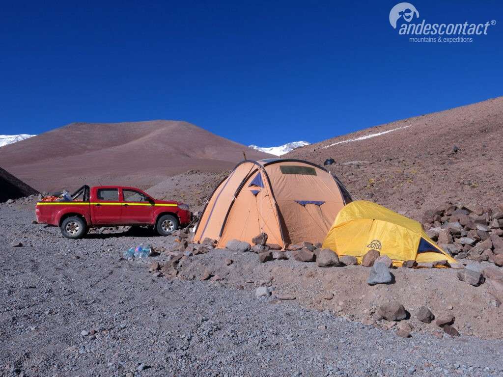
  6. FIAMBALÁ – CAMP. BASE (4.650 M).
  7. CAMP. BASE – PORTEO A CAMP.1 (5.350 M).
  8. CAMP. BASE (DESCANSO).
  9. CAMP. BASE – CAMP. 1
  10. CAMP. 1 – CAMP 2 (5-700 M).
  11. CAMP. 2 – CUMBRE – C2.
  12. C2 – CAMP. BASE – COPIAPÓ.
  13. COPIAPÓ – TRASLADO A AEROPUERTO.

*PROGRAMA FLEXIBLE, PUEDE ADAPTARSE A LAS NECESIDADES DE LOS DIFERENTES GRUPOS. 

la tercera cumbre más alta de América

Fechas próximas ascensos:

Servicios incluidos en el programa de ascenso:

Servicios no incluidos en el programa de ascenso:

Precio por persona:
Consultar por precios y condiciones para clubes o grupos organizados.

Condiciones ascensos:

PRÓXIMOS ASCENSOS

Galería

Volcán Pissis Leer más ”

Marmolejo Expedition

the world's southernmost 6000 metre mountain.

MARMOLEJO 6.108 m - 20,039 ft

NEVADO MARMOLEJO

The Nevado Marmolejo is the world’s southernmost 6,000 metre mountain and located at the Chilean-Argentinian border just southeast of Santiago. and rises 6,108 meters, which is the last mountain in the world that exceeds the mythical barrier of six thousand meters above sea level at this latitude. Further south, none exceeds 5,999 meters. 

Its ascent involves crossing long valleys that give way to steep slopes, which lead to the higher altitude camps.  To reach the summit, a long, gentle sloping glacier has to be crossed followed by a faint pumice stone trail.

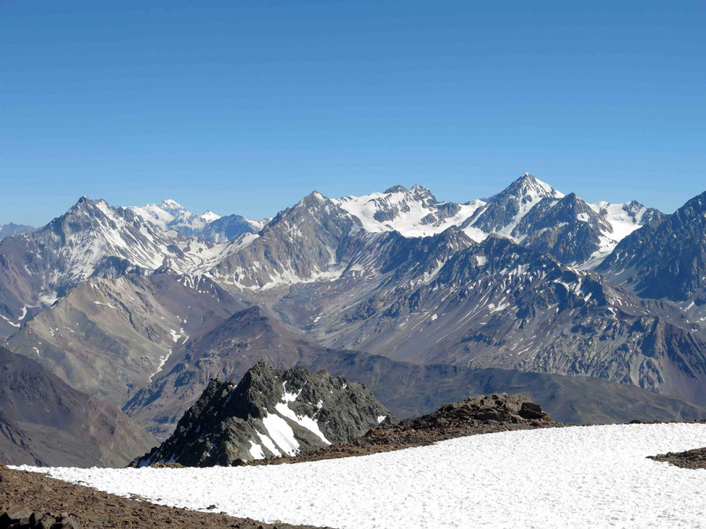
From the summit, the colossal extent of the central Andean mountain range can be appreciated as well as the impressive north face of the Marmolejo.

Expedition Nevado Marmolejo, climbing the southernmost of the highest mountains in the world.

CLIMBING PROGRAM

  1. SANTIAGO – CABRERÍO – CAMP. 1 (3,350 m – 10,941 ft).
  2. CAMP. 1 – BASE CAMP BASE (4,330 m – 14,206 ft).
  3. BASE CAMP – CAMP 2 (4,950 m -16,240 ft)) – BASE CAMP
  4. BASE CAMP – CAMP 2
  5. CAMP. 2 – SUMMIT – CAMP. 2
  6. CAMP 2 – CABRERÍO – SANTIAGO.

THE WORLD´S MOST SOUTHERNMOST 6,000 METRE MOUNTAIN

Next climbing dates:

Climbing program does include:

Not included in climbing program:

Price per person:
2 people: $.- USD (aprox).
3 people: $.- USD (aprox)
4 people: $.- USD (aprox)
5 people: $.- USD (aprox)

The total will be applied to the dollar value of the current day.
Ask for private trips.

NEXT CLIMBING TRIPS

Marmolejo Expedition Leer más ”

6×6 Expedition

6 DIFFERENT 6,000 M (19,685 FT) MOUNTAINS; 1 SINGLE EXPEDITION

6x6 EXPEDITION

Very High

6 mountains that surpass the magical 6000 metre (19,685 ft) mark, 6 different objectives, 6 new summits, 1 single expedition.

  • San Francisco (6,018 m – 19,744 ft).
  • Tres Cruces Norte (6,030 m-19,783 ft).
  • Barrancas Blancas (6,119 m – 20,075 ft).
  • Vicuñas (6,067 m – 19,904).
  • Ermitaño (6,146 m – 20,164 ft).
  • Peñas Blancas (6,036 m – 19,803 ft).

These mountains are the 6 milestones that constitute this ambitious and challenging project.

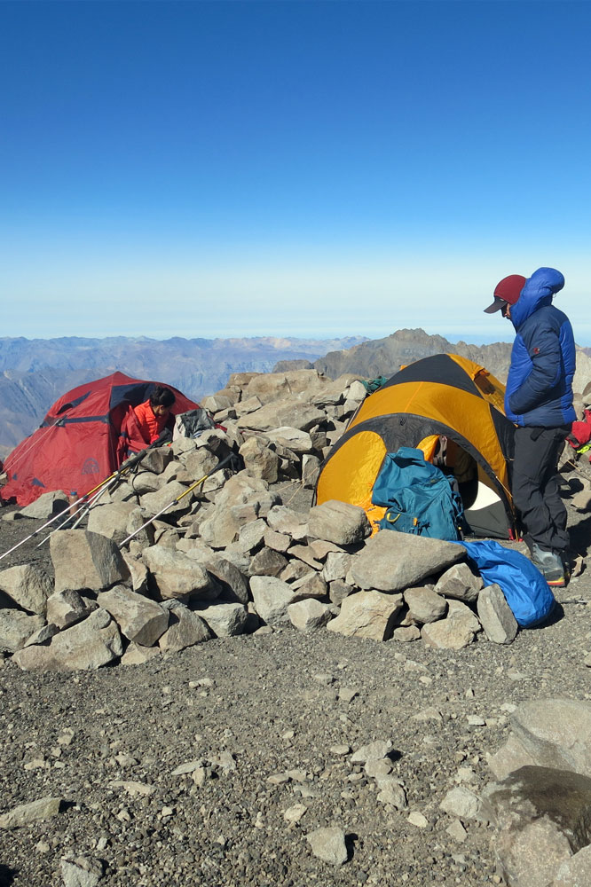
Once set up at base camp at the Laguna Verde (4,300 mts), all climbs can be accomplished for the day, leaving from- and returning to the the comfort of the camp for each climb. This allows to good food, the lovely hot springs and a well-deserved rest to be enjoyed throughout the expedition.

Although this is a physically demanding objective in the sheer number of climbs, these are relatively short  climbs that take between 3 and 6 hours each to cover a little more than 1000 metres of elevation difference. For this reason, just a decent level of fitness, focus and determination are paramount to meet these continuous challenges. For every two mountains there is one rest day at base camp.

CLIMBING PROGRAM

  1. ARRIVAL FROM SANTIAGO – COPIAPÓ. PICK-UP AT THE AIRPORT, DROP-OFF AT HOTEL*.
  2. DRIVE TO LAGUNA SANTA ROSA, (3,750 M – 12,303 FT).  DOUBLE SHARED TENTS.
  3. CLIMB OF 7 HERMANOS MOUNTAIN (4,850 M – 15,912 FT), ACCLIMATIZATION TREK. RETURN TO CAMP.
  4. DRIVE TOWARDS THE LAGUNA VERDE, BASE CAMP. DOUBLE SHARED TENTS.
  5. Climb of the volcano San Francisco (6,018 m – 17,744 ft), L. Verde.
  6. Climb of the volcano Tres Cruces Norte (6,030 m – 19,783 ft), L. Verde.
  7. Rest day in base camp and hot springs.
  8. Climb of the volcano Vicuñas (6,067 m – 19,904 ft), L. Verde.
  9. Climb of the volcano Barrancas Blancas (6,118 m – 20,072 ft), L. Verde.
  10. Rest day in base camp and hot springs.
  11. Climb of the volcano Peñas Blancas (6,030 m – 19,083 ft), L. Verde.
  12. Climb of the volcano Ermitaño (6,180 m – 20,275 ft), L. Verde.
  13. Return to Copiapó – Hotel.
  14. Return to Santiago. Drive to Copiapó airport.
 End of the services of AndesContact.

*Optional; price not included (hotel).

6 different mountains; 1 single trip!

Next climbing dates:

Climbing program does include:

Not included in climbing program:

Price per person:
2 people: $.- USD (aprox).
3 people: $.- USD (aprox)
4 people: $.- USD (aprox)
5 people: $.- USD (aprox)

The total will be applied to the dollar value of the current day.
Ask for private trips.

NEXT CLIMBING TRIPS

6×6 Expedition Leer más ”

Nevado Marmolejo

EL SEISMIL MÁS AUSTRAL DEL MUNDO

MARMOLEJO 6.108 m - 20,039 ft

Nevado Marmolejo

El Nevado Marmolejo se ubica en los Andes centrales, límite con Argentina, justo donde acaba Santiago hacia el oriente, a un costado de su vecino San José, volcán cabecera del Cajón del Maipó, y se eleva, con sus 6.108 mts, como la última montaña del mundo que supera la mítica barrera de los seis mil metros sobre el nivel del mar en esta latitud. Más al sur, ninguna supera los 5.999 mts.

Su ascenso recorre largos valles en un comienzo, para luego dar paso a fuertes pendientes que lllevan hacia los campamentos de altura.

El intento de cima, sin poseer mucha pendiente, atraviesa un largo glaciar, seguido de una huella de material volcánico que rodea la cumbre para luego acceder a ella en forma directa.

Desde su punto más alto se puede apreciar el gigante cordón montañoso de los Andes Centrales y también su imponente cara norte.

PROGRAMA DE ASCENSO

  1. SANTIAGO – CABRERÍO – CAMP. 1 (3.350 M).
  2. CAMP. 1 – CAMP BASE (4.330 M).
  3. CAMP. BASE – CAMP. 2 (4.950 M) – CAMP. BASE.
  4. CAMP. BASE – CAMP. 2
  5. CAMP. 2 – CUMBRE – CAMP. 2
  6. CAMP 2 – CABRERÍO – SANTIAGO.

*PROGRAMA FLEXIBLE, PUEDE ADAPTARSE A LAS NECESIDADES DE LOS DIFERENTES GRUPOS. 

El 6000 MÁS AUSTRAL DEL MUNDO

Fechas próximas ascensos:

Servicios incluidos en el programa de ascenso:

Servicios no incluidos en el programa de ascenso:

Precio por persona:
Consultar por precios y condiciones para clubes o grupos organizados.

Condiciones ascensos:
PRÓXIMOS ASCENSOS

Próximos eventos

Nevado Marmolejo Leer más ”

Ojos_del_Salado_Andescontact

Ojos del Salado Volcano

THE HIGHEST SUMMIT IN CHILE

OJOS DEL SALADO
6.893 m - 22,614 ft

OJOS DEL SALADO VOLCANO

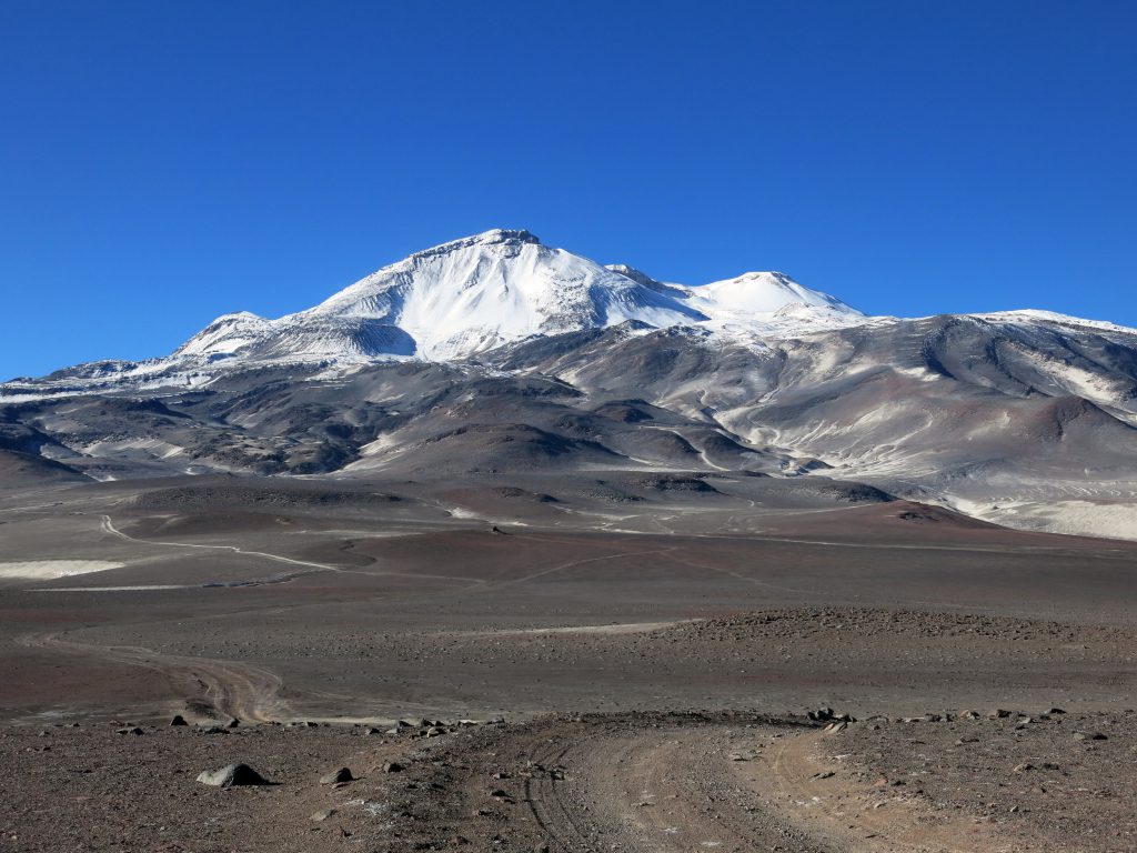
The volcano Nevado Ojos del Salado marks Chile´s highest peak, and the second highest in the Americas after the Aconcagua. It is the world´s highest volcano, which calls the attention of mountaineers from all over the world.

Nestled in the heart of the Atacama Desert, in an area known as the Puna de Atacama, this giant towers at 6,893 metres above sea level dominating its immediate neighbours (such as El Muerto, Fraile, Vicuña, Incahuasi). During its high season from November to March, the Ojos is the mountain that is most visited by foreigners in Chile.

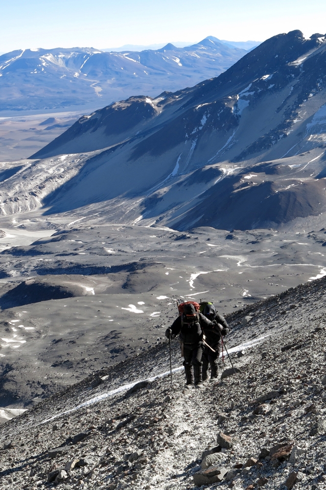
Paradoxically, the Ojos is rather a comfortable mountain in the sense that we can find hot springs to relax in, and drivable paths that allow altitude to be gained without having to shoulder much weight. This however does not make the climb itself easier: the Ojos remains in the middle of the desert with a relative humidity around 0%, which immediately complicates its climb.

Nevado Ojos del Salado, the world´s highest volcano, Chile´s highest mountain and a vast desert make this one of Chile´s most popular expeditions.

OJOS DEL SALADO

CLIMBING PROGRAM

  1. 1.ARRIVAL FROM SANTIAGO  – PICK-UP AT COPIAPÓ AIRPORT – DRIVE TO LAGUNA SANTA ROSA, (3,750 M – 12,303 FT).  SHARED HUTT.
  2. 7 HERMANOS MOUNTAIN (4,850 M – 15,912 FT), ACCLIMATIZATION TREK. RETURN TO CAMP.
  3. DRIVE TOWARDS THE LAGUNA VERDE, BASE CAMP. DOUBLE SHARED TENTS.
  4. CLIMB OF THE VOLCANO SAN FRANCISCO (6,018M – 17,744 FT). RETURN TO BASE CAMP.
  5. REST DAY IN BASE CAMP AND HOT SPRINGS.
  6. DRIVE TO THE ATACAMA CAMP (5,300 M – 17,388 FT).
  7. CARRY DAY TO REFUGIO TEJOS (5,800 M – 19,028 FT); RETURN TO CAMP.
  8. WALK UP TO REFUGIO TEJOS.
  9. SUMMIT  ATTEMPT,  EARLY MORNING START. RETURN TO ATACAMA CAMP.
  10. RETURN TO COPIAPÓ.
  11. DROP OFF TO COPIAPÓ AIRPORT. 

THE HIGHEST PEAK IN CHILE
THE HIGHEST VOLCANO IN THE WORLD

Next climbing dates:

Climbing program does include:

Not included in climbing program:

Price per person:
2 people: $.- USD (aprox).
3 people: $.- USD (aprox)
4 people: $.- USD (aprox)
5 people: $.- USD (aprox)

The total will be applied to the dollar value of the current day.
Ask for private trips.

NEXT CLIMBING TRIPS

Ojos del Salado Volcano Leer más ”

Ojos_del_Salado_Andescontact

Volcán Ojos del Salado

EL TECHO DE CHILE

OJOS DEL SALADO
6.893 m - 22,614 ft

Very High

El volcán Ojos del Salado es la altura máxima de Chile y la segunda de América, tras el Aconcagua, monarca absoluto. Es, además, el volcán más alto del mundo, lo que atrae las miradas de montañistas de todas partes del planeta.

Enclavado en pleno desierto de Atacama (III región), en la zona denominada Puna de Atacama, este gigante se eleva 6.893 mts sobre el nivel del mar, destacándose por sobre sus vecinos inmediatos.

Dentro de sus atractivos, es posible tomar un baño y relajarse en sus espectaculares termas a 4.300 mts. Además, la existencia de caminos vehiculares permiten ganar altura sin necesidad de cargar peso entre campamentos.

Volcán Ojos del Salado, una inolvidable, enriquecedora y desafiante aventura personal y grupal.

OJOS DEL SALADO

PROGRAMA DE ASCENSO

  1. CIUDAD DE ORIGEN – APTO. DE COPIAPÓ – LAG. STA. ROSA (3.750 M).
  2. STA. ROSA – ASCENSO CERRO 7 HERMANOS (4.850 M) – STA. ROSA
  3.  STA. ROSA – LAGUNA VERDE (4.300 M)
  4. LAGUNA VERDE – CERRO SAN FRANCISCO (6.018 M) – LAGUNA VERDE.
  5. LAGUNA VERDE.
  6. LAGUNA VERDE – CAMP. ATACAMA (5.300 M).
  7. CAMP. ATACAMA – PORTEO A REF. TEJOS (5.800 M) – CAMP. ATACAMA.
  8. CAMP. ATACAMA – REF. TEJOS.
  9. REF. TEJOS – CUMBRE – CAMP. ATACAMA.
  10. CAMP. ATACAMA – COPIAPÓ.
  11. COPIAPÓ – TRASLADO A AEROPUERTO.

*PROGRAMA FLEXIBLE, PUEDE ADAPTARSE A LAS NECESIDADES DE LOS DIFERENTES GRUPOS. 

LA CUMBRE MÁS ALTA DE CHILE
EL VOLCÁN MÁS ALTO DEL MUNDO

Fechas próximas ascensos:

Servicios incluidos en el programa de ascenso:

Servicios no incluidos en el programa de ascenso:

Precio por persona:
Consultar por precios y condiciones para clubes o grupos organizados.

Condiciones ascensos:

PRÓXIMOS ASCENSOS

Volcán Ojos del Salado Leer más ”